Remote sensing
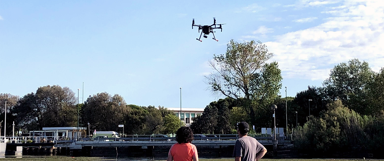
Remote sensing utilizes data acquired from satellite, airborne, and drone-based sensors to develop new mathematical models or to provide input to existing ones. Such data enable the production of thematic maps and the analysis of physical and biological processes that are fundamental to understanding environmental and climate dynamics.
People
Clara Armaroli
Associate Professor
keywords:
Coastal Morphodynamics, Coastal geomorphology, Coastal risk (beach erosion and flooding), Dune system dynamics and
Read more
Matteo Berti
Full Professor
keywords:
Hydrologic response of clay slopes, Real-time monitoring, Sensor network
Luigi Cantelli
Assistant professor
keywords:
Tectonics, TransAlp, GIS, Geological mapping, 3d reconstruction, UAV photogrammetry, TLS
Roberto Cazzolla Gatti
Associate Professor
keywords:
One Health, ecosystem functioning, biodiversity, biological conservation, global environmental protection,
Read more
Giuseppe Ciccarese
Junior assistant professor (fixed-term)
Duccio Rocchini
Full Professor
keywords:
Mathematical Ecology, Computational Ecology, Ecological Informatics, Spatial Data Visualization, Remote sensing,
Read more
Sonia Silvestri
Associate Professor
keywords:
remote sensing, eco-geomorphology, coastal geomorphology, peatlands, coastal vegetation
Alessandro Simoni
Associate Professor
keywords:
debris flow hazard, rainfall induced slope failure, risk mitigation measures, slope hydrologic monitoring, InSAR