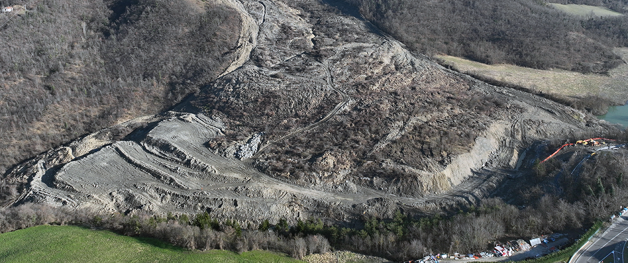
Landslide risk management and mitigation
Identification, characterization, and monitoring of landslides. Slope stability analysis using analytical and numerical methods. Definition of landslide risk at local and catchment scales for civil defense and land-use planning applications.
People
Matteo Berti
Full Professor
keywords:
Hydrologic response of clay slopes, Real-time monitoring, Sensor network
Francesco Brardinoni
Associate Professor
keywords:
Antrhopogenic disturbance; mountain drainage basins; sediment supply; sediment transport, landslides; debris flows;
Read more
Giuseppe Ciccarese
Junior assistant professor (fixed-term)
keywords:
landslide, slope stability, landslide suceptibility, geotechnical.
Alessandro Simoni
Associate Professor
keywords:
debris flow hazard, rainfall induced slope failure, risk mitigation measures, slope hydrologic monitoring, InSAR