Application of remote sensing, digital mapping, GIS, laser scan, georadar and other geomatic tools to geological problems
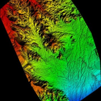
Our research activities have recently focused on geological and thematic mapping by using state-of-the-art geomatic tools and GIS systems. Our expertise is by now well established, for example, in the 3D reconstruction of outcrops of particular interest, of large areas (for example the Project: Geochemical' fingerprinting 'of Gobi Dinosaurs; a novel tool for Countering the illegal trade of Asian fossils' granted by NGS) and in the monitoring of coastal morphology along the Romagna coast. Used techniques are terrestrial and aerial photogrammetry, terrestrial laser scan, ground penetrating radar and high-resolution seismic imaging; spatial information is accurately georeferenced with high-precision GPS-GNSS and mapped in GIS platforms. Luigi Cantelli has on-going active collaboration with the “Universidade Federal do Rio Grande do Sul” in Brazil.
Digital mapping is being implemented as a standard research as well as teaching tool.